AIM
4/20/23
7
−
1
−
55
Meteorology
FIG 7
−
1
−
17
Warning Boxes
(b)
LLWAS was fielded in 1988 at 110 airports across the nation. Many of these systems have been
replaced by new TDWR and WSP technology. While all legacy LLWAS systems will eventually be phased out,
39 airports will be upgraded to LLWAS
−
NE (Network Expansion) system. The new LLWAS
−
NE systems not
only provide the controller with wind shear warnings and alerts, including wind shear/microburst detection at
the airport wind sensor location, but also provide the location of the hazards relative to the airport runway(s).
It also has the flexibility and capability to grow with the airport as new runways are built. As many as 32 sensors,
strategically located around the airport and in relationship to its runway configuration, can be accommodated
by the LLWAS
−
NE network.
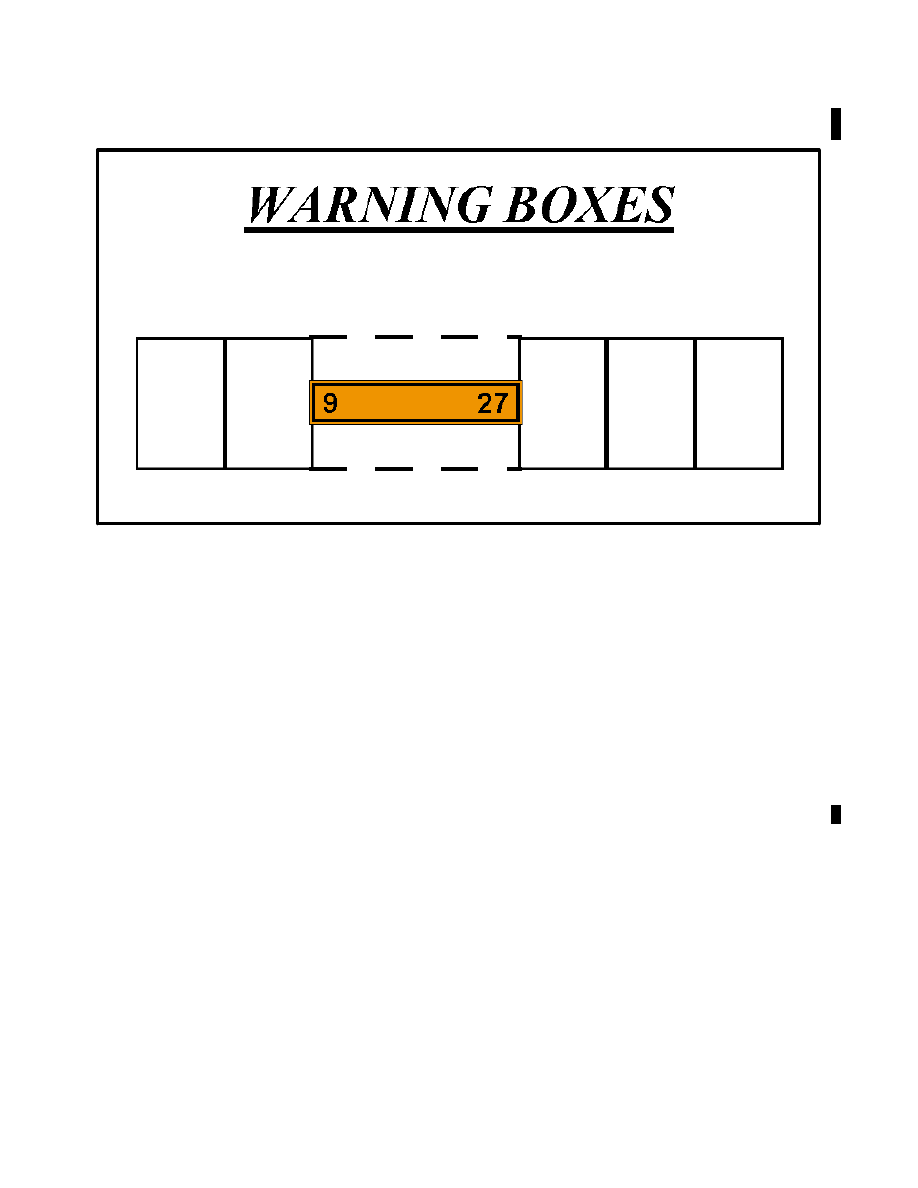
3. Terminal Doppler Weather Radar (TDWR).
(a)
TDWRs have been deployed at 45 locations across the U.S. Optimum locations for TDWRs are 8 to
12 miles off of the airport proper, and designed to look at the airspace around and over the airport to detect
microbursts, gust fronts, wind shifts, and precipitation intensities. TDWR products advise the controller of wind
shear and microburst events impacting all runways and the areas
1
/
2
mile on either side of the extended centerline
of the runways out to 3 miles on final approach and 2 miles out on departure. (FIG 7
−
1
−
17 is a theoretical view
of the warning boxes, including the runway, that the software uses in determining the location(s) of wind shear
or microbursts). These warnings are displayed (as depicted in the examples in subparagraph 5) on the RBDT.
(b)
It is very important to understand what TDWR does NOT DO:
(1)
It
DOES NOT
warn of wind shear outside of the alert boxes (on the arrival and departure ends of
the runways);
(2)
It
DOES NOT
detect wind shear that is NOT a microburst or a gust front;
(3)
It
DOES NOT
detect gusty or cross wind conditions; and
(4)
It
DOES NOT
detect turbulence.
However, research and development is continuing on these systems. Future improvements may include such
areas as storm motion (movement), improved gust front detection, storm growth and decay, microburst
prediction, and turbulence detection.